|
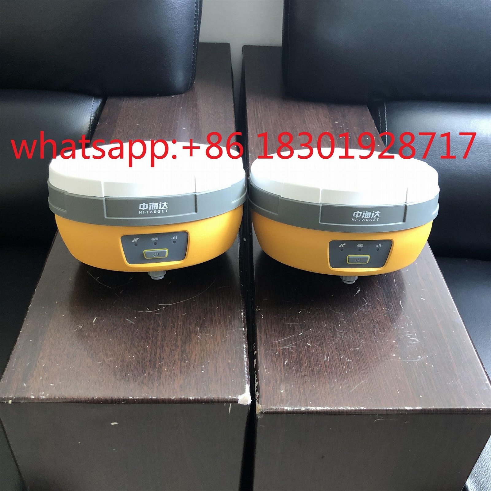
V30 Plus GNSS RTK SYSTEM
With its built-in multi-constellation GNSS engine, smaller dimension, and industrial-grade compact design, V30Plus provides a fexible GNSS work solution. It also integrates with the WebUI, WIFI, Bluetooth and 4G module to make data management and transmission more convenient and faster. Accompanied by Hi-Target professional feld surveying software and its up-to-10-hours working time, V30Plus meets users’ needs of efcient and convenient surveying experience.
Key features:
1)High technology GNSS engine
2) Support GPS, GLONASS, BDS, GALLILEO
3) Rugged design and user-friendly functions
Communications:
1)3G
Built-in 3G module,support WCDMA/HSDPA/EDGE/GPRS
Network RTK (via CORS) range 20-50km
2)HI-TARGET internal UHF radio (standard)
Frequency :460 MHz with 116 channels
Transmitting power :0.1W, 1W, 2W adjustable
Transmitting Speed :Up to 19.2Kbps
Working range: 3~5Km typical, 8~10km optimal
3)HI-TARGET External UHF radio (standard)
Frequency : 460 MHz with 116 channels
Transmitting power : 5W, 10W, 20W, 30W adjustable
Transmitting Speed : Up to 19.2Kbps
Working Range : 8~10Km typical, 15~20km optimal
Support other external communication device
For example, external GSM modem
Specifications:
| Model |
V30 plus |
| System Configuration |
Data storage |
8GB internal memory |
| Data Formats |
1Hz positioning output, up to 50 Hz - depends on installed option |
| CMR: sCMRx,CMR,CMR+input and output |
| RTCM: RTCM 2.1, 2.2, 2.3, 3.0, 3.1,3.2 input and output |
| Navigation outputs ASCII: NMEA-0183 GSV, AVR, RMC, HDT, VGK, VHD, ROT, GGK, GGA, GSA, ZDA, VTG, GST, PJT, PJK, BPQ, GLL, GRS, GBS |
| Navigation outputs binary: GSOF,1 Pulse Per Second Output |
| Satellite Signals Tracked Simultaneously |
Channels |
220,Advanced Pacific Crest Maxwell 6 Custom Survey GNSS Technology |
| BDS |
B1, B2,B3 |
| GPS |
L1, L2C/P, L5 |
| GLONASS |
Simultaneous L1, L2 |
| SBAS |
Simultaneous L1, C/A, L5(EGNOS, WAAS, MSAS, GAGAN, QZSS) |
| Static and Fast Static GNSS Surveying |
Horizontal |
2.5mm+0.5ppm RMS |
| Vertical |
5mm+0.5ppm RMS |
| Post Processing Kinematic (PPK / Stop & Go) GNSS Surveying |
Horizontal |
1cm+1ppm RMS |
| Vertical |
2.5cm+1ppm RMS |
| Initialization time |
Typically 10 minutes for base while 5minutes for rover |
| Initialization reliability |
Typically > 99.9% |
| RealtimeKinematic(RTK) surveying |
Horizontal |
8mm+1ppm RMS |
| Vertical |
15mm+1ppm RMS |
| Initialization time |
Typically < 8seconds |
| Initialization reliability |
Typically > 99.9% |
| Code Differential GNSS Positioning |
Horizontal |
25cm+1ppm RMS |
| Vertical |
50cm+1ppm RMS |
| SBAS |
0.50m Horizontal, 0.85m Vertical |
| Power and Battery |
Power |
6V to 28V DC external power input,Power consumption ≤3.5W |
| Internal battery |
Rechargeable, removable 7.4V, 5000mAh Lithium-ion battery |
| Internal battery life |
static:13 - 15 hours |
| RTK Rover (UHF/GPRS/3G) 10 - 12 hours |
| RTK Base 8 - 10 hours |
| I/O Interface |
1 xBluetooth, 1 x standard USB2.0 port,2 x RS232 serial port ,2x DC power input (8-pin & 5-pin) |
| Physical |
Dimensions (W x H) |
164mm x 83.5mm |
| Weight |
1.4kg with internal battery, internal radio,standard UHF antenna |
| Operating temperature |
-45ºCto +65ºC (-49ºF to +149ºF) |
| Storage temperature |
-55ºC to +85ºC(-67ºF to +185ºF) |
| Humidity |
100%, considering |
| Water/dustproof |
IP67 dustproof, protected from temporary immersion to depth of 1m (3.28ft). |
| Shock and vibration |
Designed to survive a 3m(9.84ft) natural fall onto concrete. |
|
|
|
|
Product Image
|